- Tibetan Bridge Lake Garda – Ponte Tibetano Torri del Benaco - 2. June 2024
- From Lake Garda to Mantua (Mantova) - 21. April 2024
- Via Ferrata on Lake Garda - 10. March 2024
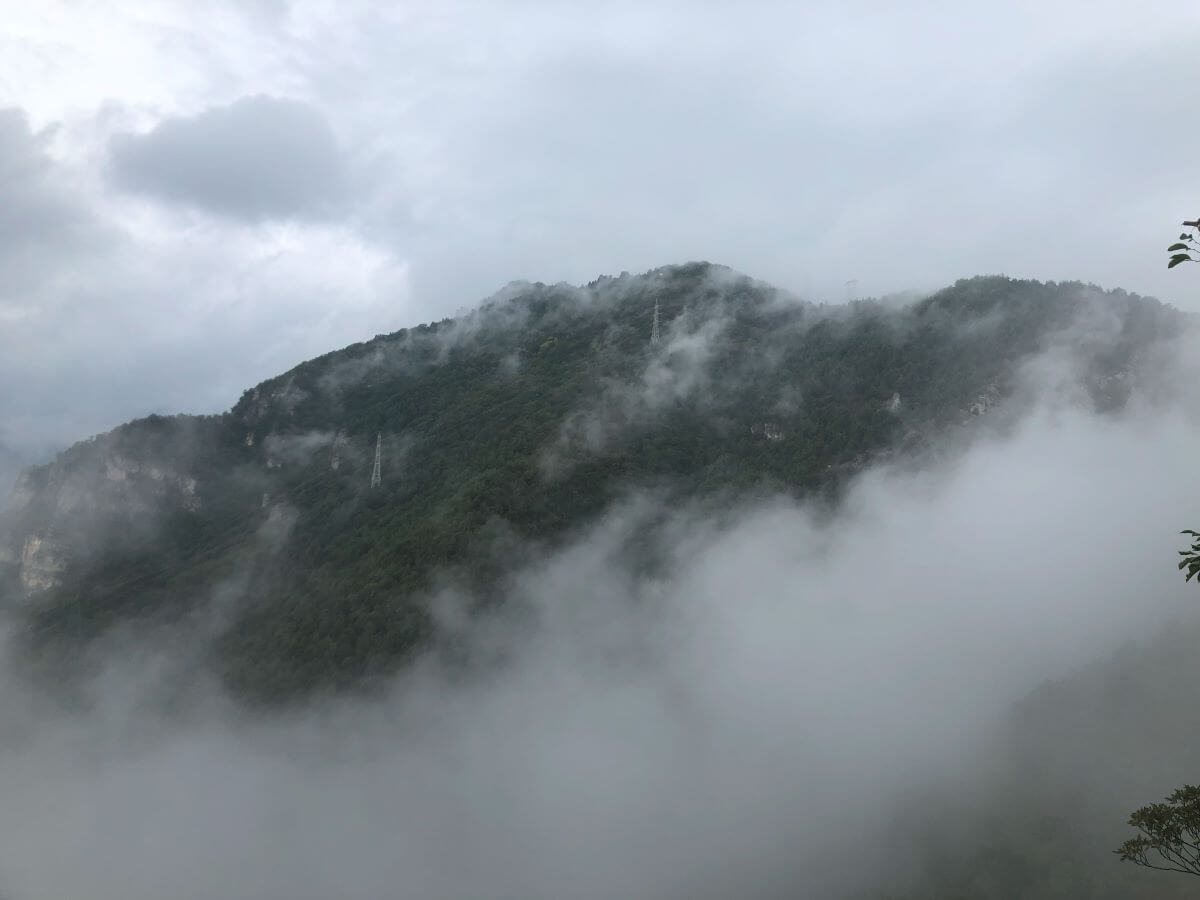
Hike Monte Zenone Tremosine – It was a cloudy morning when we set off from the Polzone Hiking Park on trail 218 to Valle San Michele. First we followed the road and after a good 300 meters we took the sharp turn to the right on the old military road towards La Cocca to the Zenone ridge. La Cocca, a mountain peak with an altitude of 994 meters, is located to the west of Tremosine on an unnamed ridge. This ridge separates the Valle San Michele and the Valle di Bondo, which makes it part of the Garda Mountains in northern Italy. La Cocca is located on this specific ridge, just in front of Cima Mughera.
The trail led us through a beautiful deciduous forest. Since it was hunting season at the time of our hike, we met a few hunters with shotgun at the ready along the way. The fierce look of the one or the other hunter was sometimes a bit scary 🙂
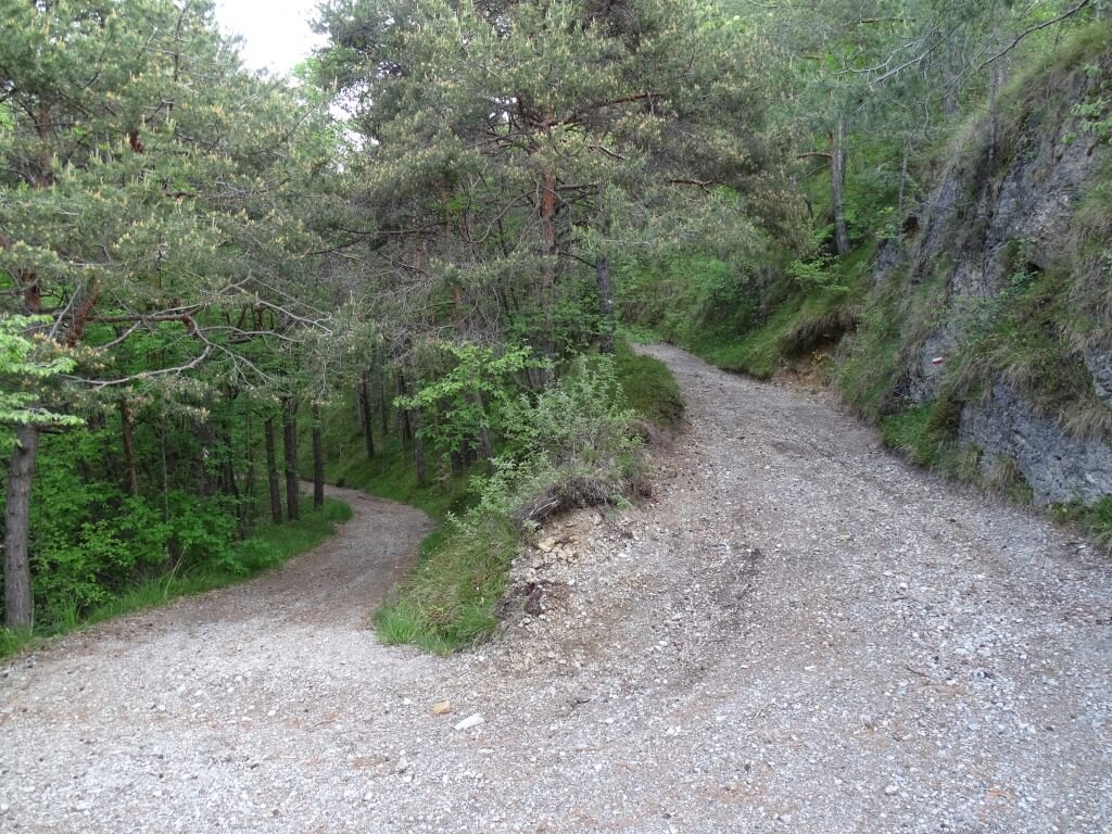
Around the Monte Zenone!
Just below La Cocca we left the trail and turned right. On a wide path we went up to the saddle (966 m) where, despite the bad weather, we had a breathtaking view of the Val di Bondo with its picturesque scenery.
We crossed the ditches of Pulsa and Ègoli and the path descended to the clearing of Piazzolo (1044 m). A little above the mountain pasture, the descent became an ascent again.
The rest of the trail, which was for the most part unmarked, gradually gained altitude and crossed the wooded eastern slopes of Cima Mughera and Monte Zenone. Soon the mountains disappeared behind the trees.
The path climbed steeply, crossed a ditch on the right and then led diagonally up to bizarre rock formations. On the left we went up in serpentines to the ridge (Bocca delle Volte, 1352 m). Just beyond, we met the old war road that crosses the entire ridge on the west side.
With a breathtaking view of the mountains surrounding Valle San Michele, including Monte Caplone (1976 m), we circumnavigated Cima delle Volte (1422 m). The mostly still well-preserved route disappeared twice briefly in the mountain. On the southwest ridge of Monte Zenone we could then also make out Lago di Garda.
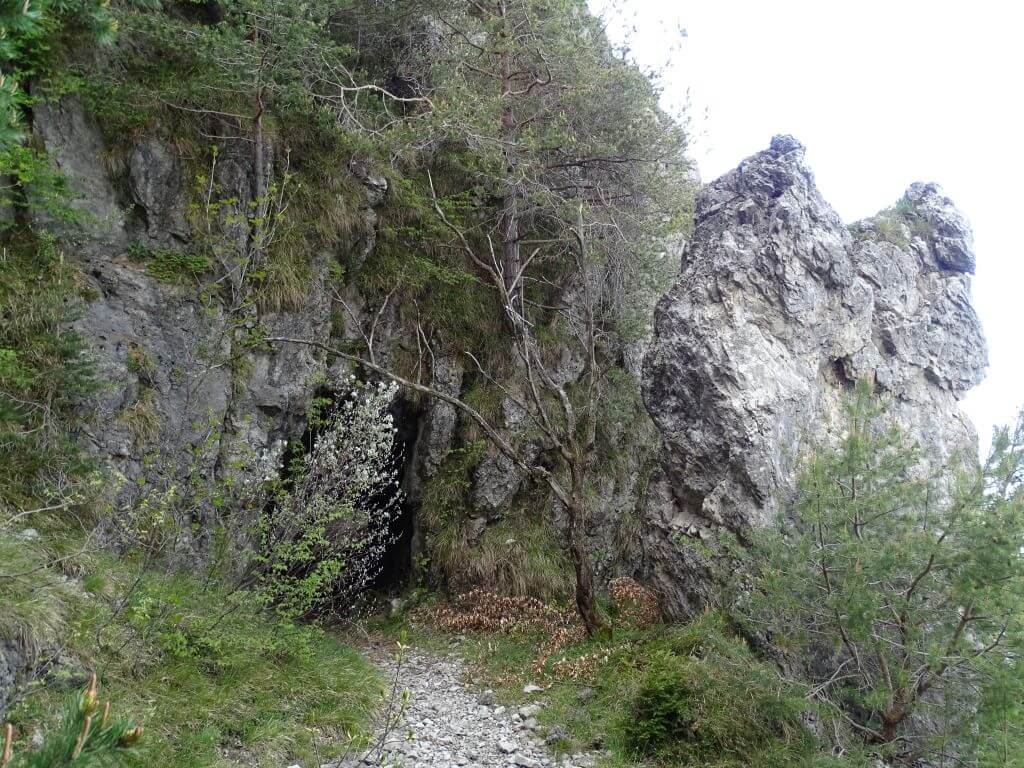
Varied hiking tour – Monte Zenone
A historic military trail, marked with the number 218, runs almost horizontally southward along the western side of Monte Zenone. The path crosses short tunnels and new panoramic views open up with each terrain ledge overcome.
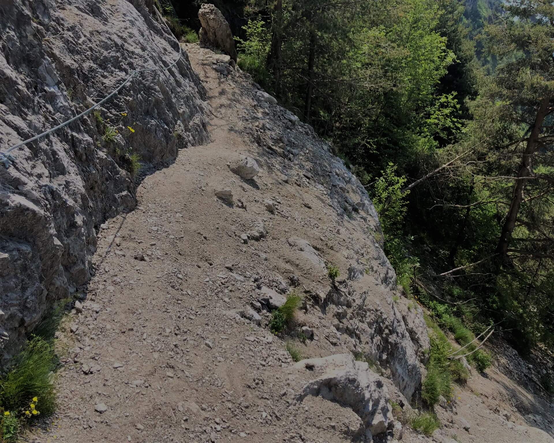
Lake Garda and Monte Baldo remained an impressive motif during the rest of the hike. Our path led us to the Cima Mughera. Here it becomes exciting once again, because here the path has slipped. In the meantime, holding ropes are available, but still caution is required. Just below the Bocca la Cocca our circle was closed and we hiked the outward way back to the starting point of our tour at the entrance of the Valle San Michele.
Those who still have time, desire and hunger should make a detour to the Alpe del Garda.
Hike Monte Zenone Tremosine – Conclusion
It was an interesting and rewarding tour that once again brought us closer to the natural beauty of this area. This hike is one of the best for us. We are already looking forward to the next adventure!
You can find our track from Outdooractive here: Outdooractive Hike Monte Zenone
Tremosine hiking – Useful tips
Tour profile and difficulty
The circuit of Monte Zenone is about 14 km long and you overcome about 800 meters of altitude. The walking time is given as about 5 hours. There are several sections that require some surefootedness and adequate trekking knowledge. Here is another overview of the tour profile:
- Trail length: approx. 14 km
- Altitude difference: approx. 800 m
- Walking time: about 5 hours
Equipment:
Appropriate clothing and hiking boots, water, rain gear, first aid kit, emergency numbers, hiking map, sun protection.
FAQ Hike Monte Zenone Tremosine
Is the hike Monte Zenone Tremosine suitable for children?
The route is not a problem for children or teenagers with appropriate hiking experience, but it is not recommended for inexperienced children.
What equipment is recommended for hiking in Tremosine?
As described in our article“Where is the best place to hike on Lake Garda“, we recommend wearing hiking gear. One should not forget: The hiking route is in alpine terrain and should not be underestimated! Here, a certain level of fitness and surefootedness is indispensable.


